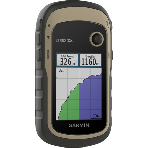
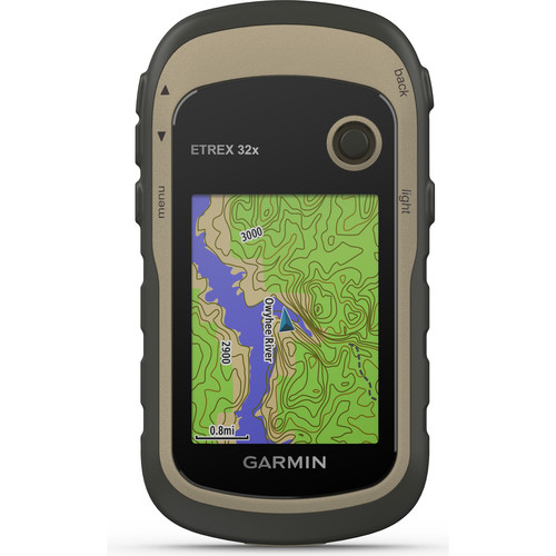
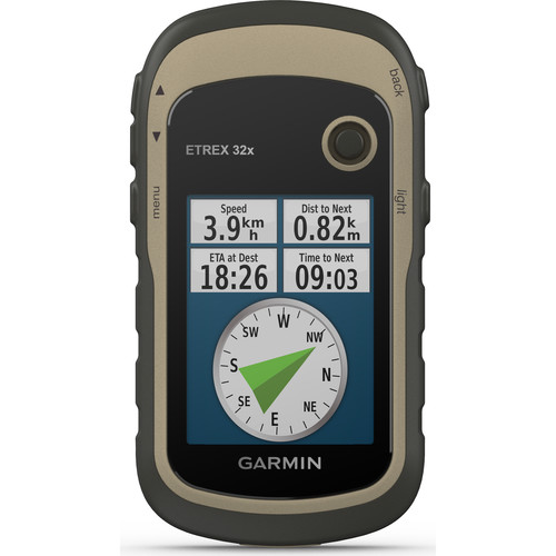
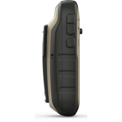
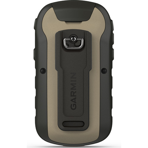
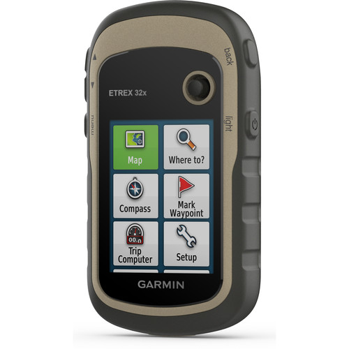
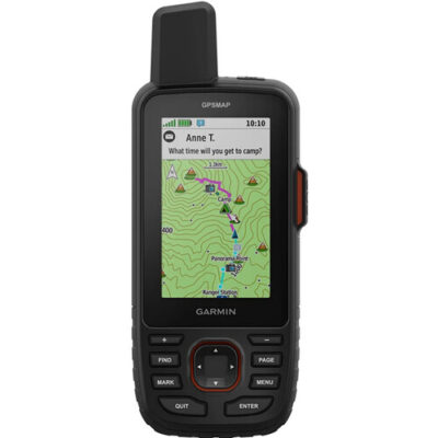
Featuring preloaded topographic maps, satellite imagery (with subscription), and navigation from two satellite services, the Garmin eTrex32x handheld navigator will help you find your way, whether on foot, bike, boat, or ATV. This model of the eTrex includes a compass and altimeter to aid your navigation.
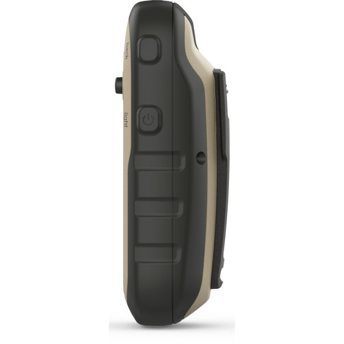
The unit’s 2.2″, 320 x 240 pixel display is designed to be easy to read, even in sunlight. The unit carries an IPX7 water resistance rating and can survive being submerged to 3.3′, so a little wet weather won’t be a problem. Having both GPS and GLONASS satellite navigation services assures better positioning information than GPS alone, especially in challenging terrain. Preloaded TopoActive maps feature routable streets and trails, showing waterways, natural features, and points of interest. You can download additional maps to the device’s 8GB internal memory or a microSD card. With a subscription to BirdsEye Satellite Imagery, you’ll have up-to-date aerial images to complement the maps. The unit will run up to 25 hours on a fresh set of two AA batteries. It measures 4.0 x 2.1 x 1.3″ and weighs 5 ounces.











Reviews
There are no reviews yet.